On this page · 8 sections
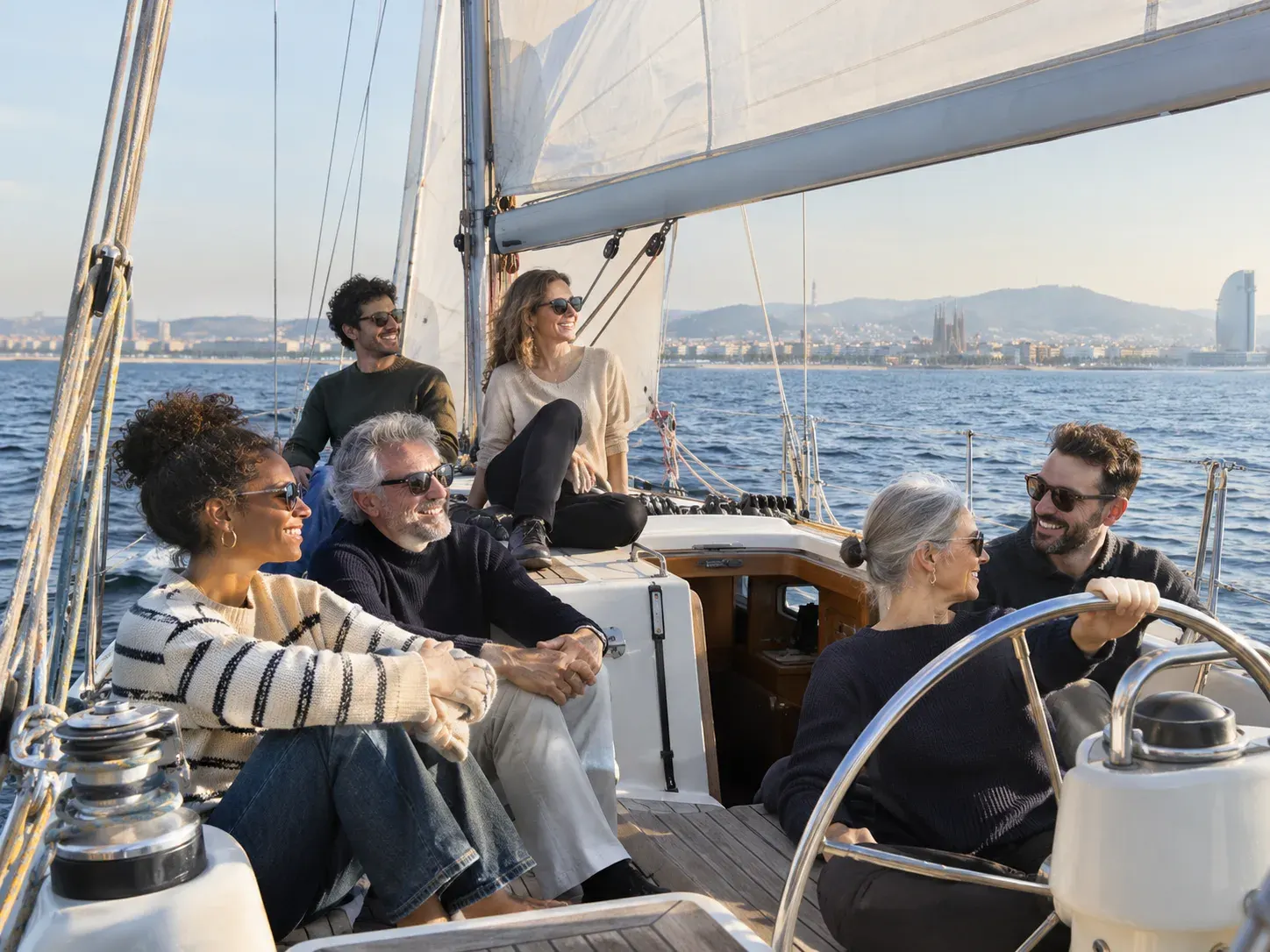
Barcelona’s waterfront runs for several kilometres inside the city, and much of it was transformed in the years around the 1992 Olympics, when old industry and railway lines gave way to beaches and promenades. From land you see it one beach at a time. Seen from the sea, it reads as a single long curve, with the old port at one end and the Fòrum at the other, which is the real appeal of exploring the Barcelona coastline by boat.
This guide follows the shore north and south of Port Vell, explains what a short or a longer sail can usually reach, and is honest about what depends on the weather.
How the Barcelona coastline is laid out
The city shore forms a gentle arc running from south-west to north-east. Montjuïc rises at the southern end, with the commercial port and its cranes spread below it. Port Vell, the old harbour, sits in the middle of the arc beside the medieval city. From there the beaches run north-east for several kilometres to the Fòrum, close to where the Besòs river meets the sea.
Boats usually leave Port Vell through the harbour mouth beside the sail-shaped W Barcelona hotel. Once outside, the skipper chooses a direction. Most trips turn north-east along the beaches, because that is where the city meets the water most directly. The southern side is mostly working port, which is interesting in its own way but less scenic, so most trips that explore the Barcelona coastline by boat begin with the beaches.
Good to know: No route is fixed in advance. The skipper reads the wind, the swell and the traffic in the harbour mouth each day, and the plan follows from that. We confirm the type of trip, its length and the price on WhatsApp before you book.
North from Port Vell: Barcelona’s beaches from a boat
This is often the most memorable stretch. Looking at Barcelona’s beaches from a boat makes their order obvious in a way a map never does.
Sant Sebastià and Barceloneta
Right outside the harbour mouth is Sant Sebastià beach, below the W hotel, followed by Sant Miquel and the long beach of Barceloneta itself. Behind the sand you can see the narrow grid of the old fishermen’s quarter. Our page on Barceloneta seen from the water covers this neighbourhood in more detail.
Somorrostro and Port Olímpic
Further on, the beach of Somorrostro runs up to the Olympic marina. Here the skyline changes abruptly: the twin towers of Port Olímpic, Hotel Arts and Torre Mapfre, stand right on the shore, and Frank Gehry’s golden fish sculpture glints at their feet. The marina breakwaters are busy with small boats, so the skipper usually keeps a respectful distance.
Nova Icària to Llevant
Beyond Port Olímpic comes a run of quieter beaches: Nova Icària, Bogatell, Mar Bella, Nova Mar Bella and Llevant. They are broad, separated by low breakwaters, and backed by the parks and apartment blocks of Poblenou. From offshore you may pick out Torre Glòries rising inland, a bullet-shaped tower that lights up at night.
The Fòrum
At the north-eastern end, the coast turns angular and modern. The Fòrum area has a huge solar pergola on the waterfront, a sheltered bathing zone and its own marina. Just past it, the Besòs river reaches the sea and the three tall chimneys of the old Sant Adrià power station stand out on the shore.
South of the port: the Llobregat side of the coast
South-west of Port Vell the scenery is very different. The commercial port stretches for kilometres, with container terminals, cruise ship berths and lines of cranes beneath Montjuïc. For anyone interested in how a working Mediterranean port operates, it is a striking sight, though boats keep clear of the shipping lanes.
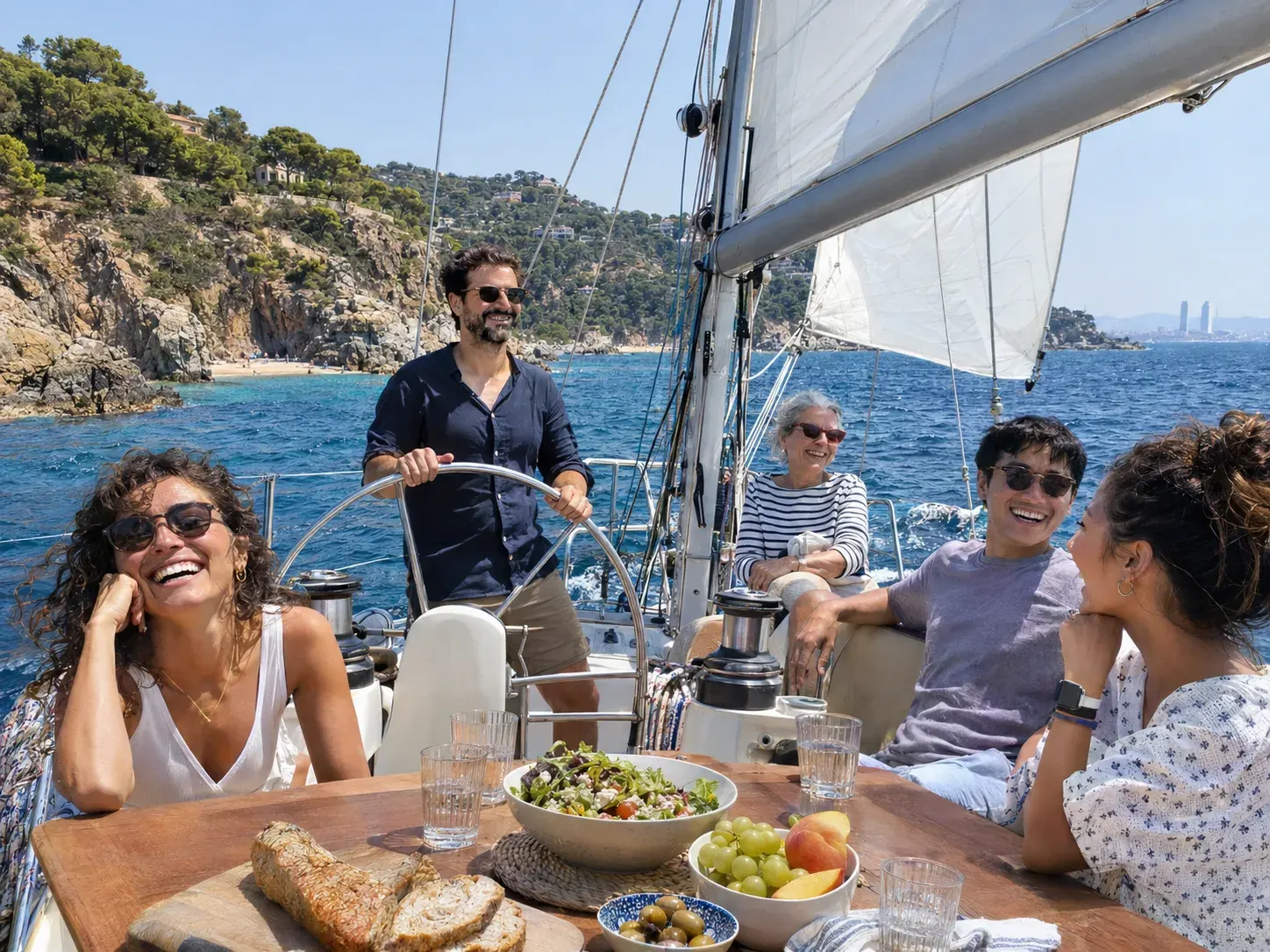
Beyond the port lies the Llobregat delta, a flat stretch of land around the river mouth and the airport, where aircraft can sometimes be seen climbing out over the sea. Further south, the beaches of Castelldefels lead to the rocky Garraf hills, where the coast becomes cliffs and coves. That stretch is well beyond the city, so it only comes into question on a long day out, and only when the wind and sea allow.
What a short or a longer boat trip along the coast can reach
The honest answer is that how far a boat trip along the Barcelona coast goes depends on the wind. A sailing boat can move briskly on a good breeze and slowly on a calm day, and the skipper also has to allow for the return leg.
| Trip length | What you may typically see | Notes |
|---|---|---|
| Shorter sail | Port Vell, the harbour mouth, Barceloneta and the towers of Port Olímpic | The classic city shoreline view |
| Longer sail | The city beaches towards Bogatell or Mar Bella, possibly further | More time under sail; a swim is sometimes possible in warm months |
| Full day | Possibly the Fòrum, beyond the Besòs, or the southern side, depending on conditions | Destinations are possibilities, never promises |
If a longer stretch of coast is what you are after, our full-day boat tour is the trip that allows the most time on the water. We will tell you on WhatsApp what the skipper thinks is realistic for your date.
Ask what part of the coast we can sail on your date
Swimming along the coast
A swim is a common question. Whether one happens depends on the season, the sea temperature, the conditions on the day and the skipper’s safety call. In late summer the water is often around 24 to 26 °C, while in February and March it can be closer to 13 or 14 °C.
Swimming is also not possible everywhere. The city beaches have marked bathing zones in summer, and boats must stay outside them. Ask us before you book whether a swim is planned. Our guide to swimming during a boat tour explains how it usually works and what to bring.
Good to know: Marine life sightings are never guaranteed. Gulls and cormorants are common, and occasionally people spot fish near the breakwaters, but nobody can promise wildlife on any particular day.
Seasons and light on a coastal sail in Barcelona
The coast changes character through the year. In summer the beaches are packed, the sea is warm and an afternoon sea breeze often fills in off the water, which suits sailing. Spring and autumn bring quieter beaches and softer light. Winter days can be crisp and very clear, which is when the Collserola hills behind the city look sharpest.
For photographs of the coast, morning light falls on the beaches from the east and keeps the sand bright, while the evening sun sinks behind Montjuïc in winter and the Collserola hills in summer and turns the towers into silhouettes. If you want to understand what you are looking at inland, our guide to reading the skyline from the sea works from left to right, and the landmarks guide explains individual buildings.
Practical tips for a coastal sail
- Bring a layer. Even on warm days the breeze on open water feels cooler than on the beach.
- Use sun protection. Light reflects off the water, so sun cream, a hat and sunglasses help on any trip.
- Wear soft-soled shoes that grip on a wet deck, or be ready to go barefoot if the skipper asks.
- Secure your phone. Spray and a sudden gust are the usual reasons cameras get wet.
- Ask questions. Skippers know this coast well and can point out beaches, breakwaters and buildings as you pass.
Planning your coastal trip
Start by deciding how much of the Barcelona coastline you want to see by boat. A shorter sail shows the heart of the waterfront; a longer one gives the skipper room to explore. Then message us on WhatsApp with your date and group size. We reply with the options, the timing, the price, what is included and the cancellation terms in writing, so you can choose with everything in front of you.